
Zoom In
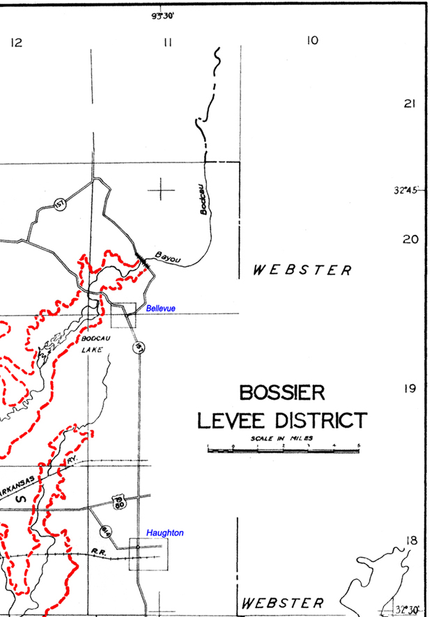
To enlarge the map view by section, click on a map quadrant below. Click on “District Map” to return to the full map view.
NW Corner
NE Corner
SW Corner
SE Corner
District Map
Boundary Description
The area of Bossier Levee District jurisdiction is defined as the levee right of way and those land and water areas adjacent to the levee right of way, whereon actions or activities may have a reasonable potential for an adverse affect on the levee system or its maintenance. All alluvial lands in Bossier Parish and all lands subject to or liable to overflow from Red River, its tributaries or outlets, south of the line dividing the north half from the south half of T20N between the Red River and the hills or uplands which border the alluvial lands on the east; being situated in Townships 15, 16, 17, 18, 19 and the south half of 20N-R11, 12, 13 and 14W; and all lands located within the watershed of Cypress Bayou laying below the elevation of 187.5 feet above MSL north of the centerline of the dam constructed on Cypress bayou in “Section 12, T19N-R13W, and Section 7, T19N-R12W; and all lands located within the watershed of Black Bayou lying below the elevation of 190.3 feet above MSL north and west of the centerline of the dam constructed on Black Bayou in Sections, 11, 12, and 14, T19N-R13W; also, the alluvial lands on the left descending bank of the Red River above Loggy Bayou and within Ward 8 (1974 boundaries) of the Red River Parish, which are subject to overflow from the Red River, its tributaries or outlets are embraced in the BLD.